Highpoint and the Deathly Hallows Trail Challenge

About the race
This trail challenge is a simple concept: start at the Lemon Street Boat Launch in Wrightsville, run to Highpoint on the Mason-Dixon Trail, run back, and then do it again. Seven times.
You will climb and descend. There is a creek crossing through a tunnel under the road that you will hit every lap, so expect wet feet.
No entry fee, sponsors, buckles, timing company, or giant inflatable arch. Just a bunch of runners showing up to share miles, snacks, and poor decision-making.
Aid station: what to bring
Each participant should bring:
- One gallon jug of water with their name written on it
- One aid station item to share, such as cookies, chips, fruit, candy, soda, pickles, pierogies, or mystery gas station delicacies
Porta-potties
Porta-potties are available at:
- Riverfront Park at the start
- Highpoint parking area (slightly off trail)
Start, location and spectators
Location: Park in the parking lot at the end of Lemon Street. Use Google Maps location “Lemon Street Boat Launch.”
Spectators are also welcome at the turnaround spot at the top of the hill at Highpoint. Use Google Maps location “Highpoint Scenic Vista & Recreation Area.”
Start, cutoff and runner limit
- Start: 7:00 AM
- Cutoff: 7:00 PM (12 hours)
- Runner limit: 20
The course
The route runs from the Lemon Street Boat Launch in Wrightsville to Highpoint on the Mason-Dixon Trail and back, repeated seven times. Each lap must begin and end at the start area. The course will not be marked with flagging ribbon; follow the existing blue blazes of the Mason-Dixon Trail.
Route distance and climbing
The route is approximately 4.75 miles per lap, although the Strava segment clocks in at 4.61 miles. The difference is that Strava does not require you to make it back to the aid station. Each lap must begin and end at the start area, bringing the total distance to roughly 33.25 miles with somewhere north of 7,000 feet of climbing.
Safety
There is no dedicated medical team. This is a self-supported event. Wrightsville emergency services are only a few minutes away, but participants are responsible for themselves, their gear, their nutrition, and their decision-making.
Location
End of Lemon Street, Wrightsville, PA, USA Open in Google Maps
City insight: Wrightsville
Wrightsville is a borough in York County, Pennsylvania, and it forms part of the York–Hanover metropolitan area. The 2020 census recorded a population of 2,257. Summers are warm and humid and winters are cold with occasional snow, so spring and early autumn are the best seasons for running or racing here.
Know from the athletes
Similar races
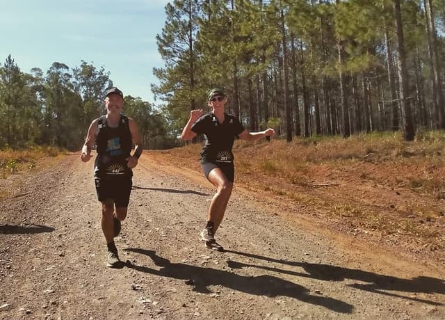
Cobb and Co Backyard Ultra

McNotagain Fall Trail Runs
The Iron Turtle

The Next Loop 40M/50M Challenge | Tyler State Park
Truth or Consequences Desert Ultra
KUS 6/12/24 Hour Run
Lady of the Lake

Red Rock Canyon Ultra
OUTLAST NASHVILLE - Long Hunter

Social profiles