IRONMAN Montana
About the race
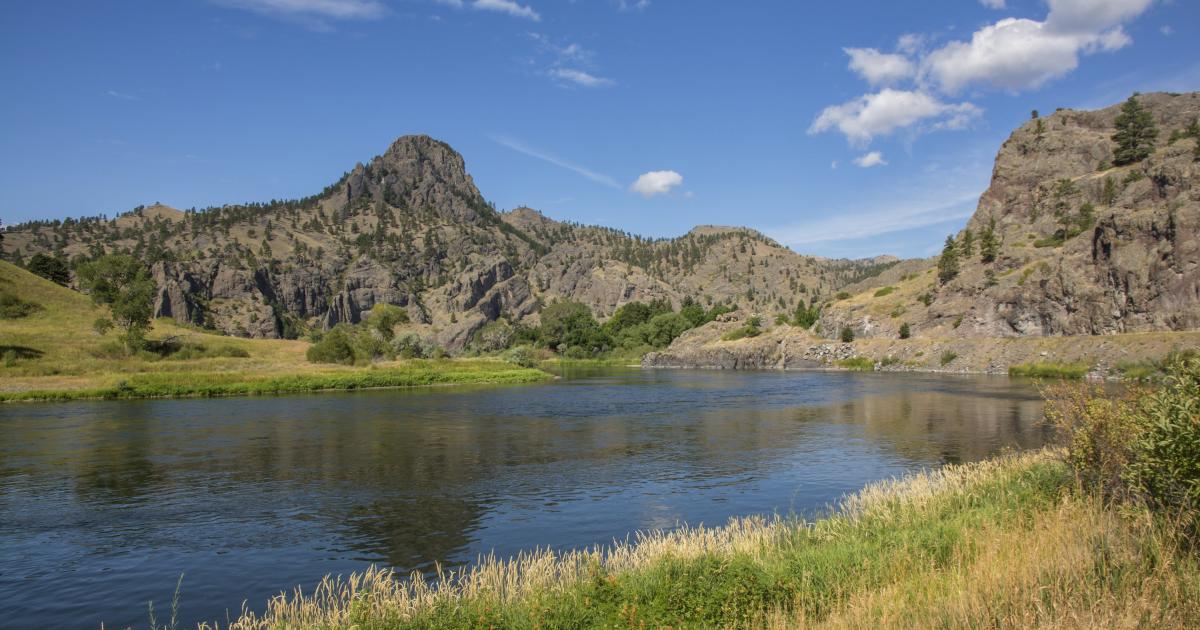
Every mile of IRONMAN Montana is shaped by the spirit of Big Sky Country. From the banks of the Missouri River to the expansive landscapes that define this region, athletes will race through a setting where adventure, endurance, and discovery come together. The course showcases the rugged beauty, wide-open spaces, and authentic character of Montana.
Athletes begin their 140.6-mile journey with a 2.4-mile, single-loop swim in the Missouri River. The 112-mile, single-loop bike course heads west through wide-open terrain with approximately 3,000 feet of elevation gain, offering sweeping views toward the Rocky Mountain Front and Glacier National Park region. The 26.2-mile, two-loop run course follows the banks of the Missouri River, culminating in a finish near Elks Riverside Park, adjacent to IRONMAN Village and transition in Great Falls.
On-Course Nutrition: Maurten GEL 100, GEL 100 CAF 100, and Gel 160 will be available at fuel stations along the course.
On Course Hydration & Nutrition
Maurten is the Official Sports Nutrition of the IRONMAN Global Series. Gels available at on-course fuel stations include GEL 100, GEL 100 CAF 100 (delivering 25g of carbohydrates), and Gel 160 (delivering 40g of carbohydrates).
What your entry includes
Cancellation policy
The course
Features a 2.4-mile single-loop swim in the Missouri River, a 112-mile single-loop bike course heading west through Montana's open terrain with approximately 3,000 feet of elevation gain, and a 26.2-mile two-loop run course along the banks of the Missouri River.
ROKA Swim Course
Athletes will begin their 140.6-mile journey with a 2.4-mile, single-loop swim in the legendary Missouri River.
ZOOT Bike Course
Athletes will embark on a 112-mile, single-loop bike course heading west through Montana’s wide-open terrain. Featuring approximately 3,000 feet of elevation gain, the bike course offers sweeping views toward the Rocky Mountain Front and Glacier National Park region.
SALOMON Run Course
Athletes will begin the 26.2-mile, two-loop run course along the banks of the Missouri River. The race will culminate with a finish near Elks Riverside Park, adjacent to IRONMAN Village and transition, in the heart of Great Falls.
Weather & Conditions
Average course temperatures:
- High Air Temp: 83 °F / 28 °C
- Low Air Temp: 50 °F / 10 °C
- Average Water Temp: 68 °F / 20 °C
Race weekend schedule
Location
City insight: Great Falls
Great Falls is the third most populous city in Montana, on the Missouri River just east of the Rocky Mountains, named for a series of waterfalls nearby. It has a cold semi-arid climate. Winters are long, very cold and often snowy, though chinook winds bring warm spells; spring is the wettest season; summers are hot and dry, with highs reaching 90 °F (32 °C) on about nineteen days a year and thunderstorms at times. Snow is possible from early October to mid May. Late June to mid September is the best time to race, with big day-to-night swings. Interstate 15 serves the city.
Know from the athletes
Good to know
Will I receive an official finisher's certificate?
Yes, athletes who participate in this race will receive instructions via email on how to download their finisher certificate shortly after the event. You can also download your certificate after the race from the event website and your profile.
Can someone else collect my items after the race?
Yes, athletes can give their Bike Check Out sticker (found on the orange sheet in their packet) to a family member or friend to collect their gear.
Where will lost and found be located during the event?
Lost and found items will be available at the Information tent during race week. It is recommended that you mark your gear with your race number.
Will there be a post-race meal?
In the recovery area, nutrition will be available for all athletes who finish the race.
Will I be allowed into the finish area to greet my athlete?
No spectators will be allowed in the finish line area due to high congestion.
Will I be allowed to cross the finish line with my athlete?
Friends and/or family members are not permitted to cross the finish line or enter the finish chute with participating athletes. Athletes who choose not to respect the policy will receive an automatic disqualification (DSQ).
Are disc wheels permitted?
Yes. However, race organizers reserve the right to restrict use depending on conditions.
Can I listen to music on the run?
iPods, MP3 players, phones, video cameras etc. are not permitted on the course.
Social profiles